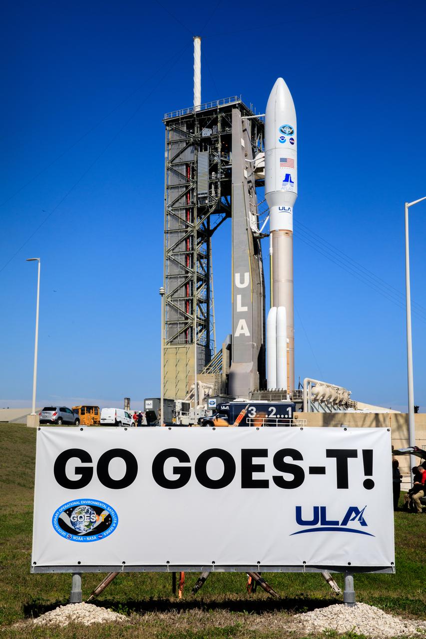
It’s launch day for the National Oceanic and Atmospheric Administration’s (NOAA) GOES-T, a satellite that will help scientists monitor Earth and space weather.
At a glance
- Launch time: 3:38 p.m. CST (Watch on NASA TV)
- Launch site: Cape Canaveral Space Force Station
- Launch vehicle: United Alliance Atlas V rocket
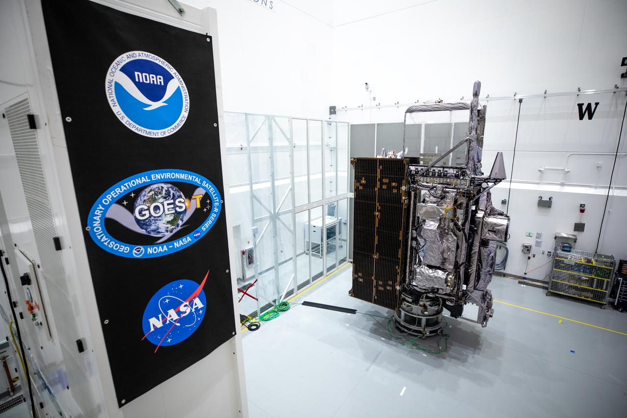
What is GOES?
GOES stands for Geostationary Operational Environmental Satellites (GOES), and GOES-T is the latest satellite in NOAA’s GOES-R Series. This series of satellites forms the most advanced environmental monitoring system in the Western Hemisphere.
Upon reaching geostationary orbit, GOES-T’s name will be changed to GOES-18. This satellite will replace GOES-17 (which currently serves as GOES West) and work with GOES-16 (which serves as GOES-East) to keep watch over half the globe!
GOES-17 will remain a spare in space.
What will GOES-T do?
GOES-T is NOAA’s new and improved satellite. It boasts of upgraded instruments and a simpler hardware design.
Once it has reached geostationary orbit, GOES-18 will do an instrument check. If everything is properly functioning, GOES-18 will begin monitoring the western contiguous United States. GOES-18 will also monitor, “Alaska, Hawaii, Mexico, Central America, and the Pacific Ocean.”
It will serve as a watchful eye up above, alerting scientists and environmental monitoring personnel below to potential hazards on Earth and in space. It will also collect real-time data to help predict weather events that may pose a threat to all of us here on Earth, like dense fog or hurricanes, and monitor dangerous natural disasters like wildfires and volcanic eruptions.
GOES-18 will also monitor space weather for potential hazards that could cause damage to spacecraft or disrupt communications and navigational technology.
Key Capabilities
NOAA’s GOES-R series satellites are helping scientists learn more about Earth and space weather. These satellite’s real-time capabilities help forecasters predict hazardous weather events and monitor natural disasters as they happen, which can help keep emergency response crews safe, and save countless other lives.
GOES-T key capabilities include:
- Fog detection
- Wildfire monitoring
- Tracking sea surface temperatures
- Monitoring for space weather hazards
- Hurricane tracking
- Air quality alerts
For a complete list of the things GOES-T will do, click here.
Learn how GOES-T will help detect and monitor wildfires with this NOAASatellites clip below:
Find more information on GOES-T here.